
 Available to order, ships in 8-11 business days
Explore new places with handy pocket maps from Collins.
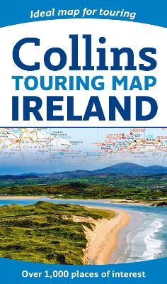
Large full colour map of the whole of Ireland showing the road network in detail, and with a special emphasis on places of tourist interest.
This map has a handy touring scale of 7.5 miles to 1 inch (1:475,200). It has more than 20 categories of tourist information depicted clearly on the map. There is a full index to place names and places of interest.
This map includes:
• All classified and most minor roads
• Railway network and ferry routes
• Viewpoints and sandy beaches
• Speed enforcement zones and safety camera locations
• Index to 20 categories of tourist information
• Includes castles, historic houses, gardens, beaches and golf courses
Buy Collins Ireland Touring Map by Collins Maps from Australia's Online Independent Bookstore, BooksDirect.
 Collins School Atlas: Ideal for learning at school and at home (Collins School Atlases)
 Collins First Atlas: Ideal for learning at school and at home (Collins School Atlases)
 Collins Student Atlas: Ideal for learning at school and at home (Collins School Atlases)