Available to order, ships in 10-12 business days
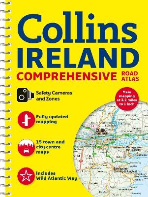
Clear, detailed road atlas of Ireland in a handy A4 spiral-bound format.
This comprehensive, general purpose road atlas is ideal for both business and pleasure.
Highlights include:
This updated edition boasts road mapping packed with detail. There is a colour classified road network that also shows toll roads. Blue Flag and Green Coast beaches are shown along with tourist information centres and a wide range of tourist attractions. There is also comprehensive information for visitors to Belfast, Cork, Dublin and Limerick.
The perfect companion for anyone visiting Ireland.
Buy Comprehensive Road Atlas Ireland by Collins Maps from Australia's Online Independent Bookstore, BooksDirect.
 Collins Essential Road Atlas Europe: Clear and detailed map of Europe in handy A4 paperback
 Collins First Atlas: Ideal for learning at school and at home (Collins School Atlases)
 Collins Student Atlas: Ideal for learning at school and at home (Collins School Atlases)
 Collins School Atlas: Ideal for learning at school and at home (Collins School Atlases)
 Road Atlas Ireland: Touring edition A4 Paperback (Collins Road Atlas)
 Collins Handy Road Atlas Ireland: Clear and detailed map of Ireland in a handy size